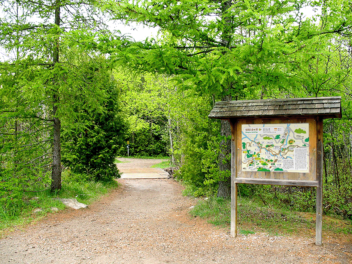
騎龍古道地圖設計
騎龍古道因山勢陡峭蜿蜒如騎在龍背上而得名。 日據時代在大山背設立小學,為方便學生們上學因而在山腰之處修築石階步道,古道就此開啟。
The Qilong Historical Trail, named for its winding and steep path that resembles riding on the back of a dragon, was originally established during the Japanese colonial era when a primary school was set up on the mountain Da Shan Bei. To facilitate students' commutes, a stone staircase was constructed on the mountainside.


Thank you for watching!

